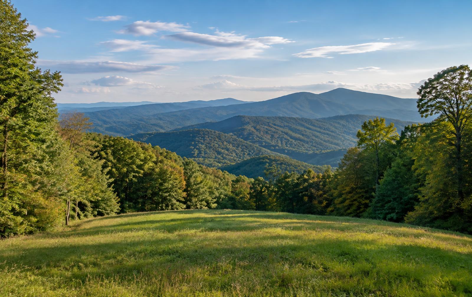
Bartow County is in northwest Georgia along Interstate 75, with Cartersville as the county seat. It combines ridges and valleys at the edge of the Appalachian foothills with lakefront, river bottom and open farmland.
Communities in the county include Adairsville, Emerson, Kingston, Euharlee, Cassville, Taylorsville and White.
Land We Look At in Bartow County
Lake-area lots and acreage
Parcels near Allatoona Lake depend on shoreline rules, slope and access, and some shoreline is federally managed.
Farm and river-bottom ground
Fields along the Etowah River and around Adairsville and Kingston have long carried hay, cattle and row crops.
Wooded ridge tracts
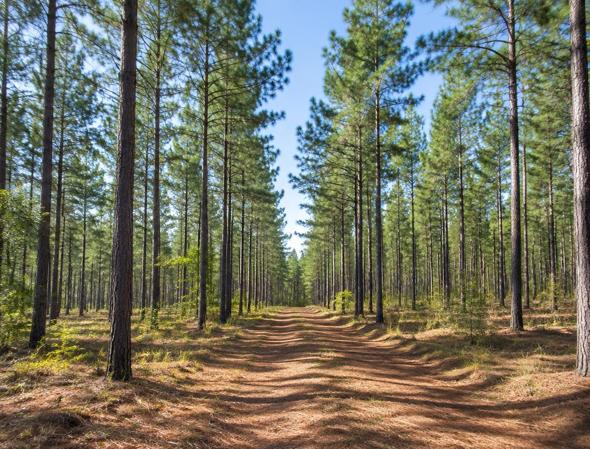
Hardwood and pine hills near Emerson, Cassville and White suit hunting buyers and rural homesites.
Local Notes
- Cartersville is the county seat, with Adairsville, Emerson, Kingston, Euharlee and White nearby.
- Interstate 75, U.S. 41 and Georgia 20 are the main routes.
- The Etowah River and Allatoona Lake define the water, and Red Top Mountain State Park sits on the lake.
- Etowah Indian Mounds State Historic Site is near Cartersville.
Growth Areas
Interstate 75 and U.S. 41 run north to south through the county, and Georgia 20 and Georgia 113 cross them. Cartersville, Emerson and Adairsville have all attracted warehouse and housing growth along the Interstate.
Terrain, Flood and Zoning Notes
The county moves from Ridge and Valley terrain with limestone bedrock and sinkholes in the west to rolling Piedmont in the east. The Etowah River and Allatoona Lake bring floodplain and shoreline rules. Cities set their own zoning, and county rules apply in unincorporated areas.
General information only. Confirm zoning and flood status for a specific parcel with the county.
County Resources
Property records in Georgia come from two county offices: the county tax assessor, who handles assessments, and the Clerk of Superior Court, who records deeds. Both can be reached through the county offices in Cartersville. The Georgia Superior Court Clerks' Cooperative Authority (GSCCCA) keeps the statewide deed index. These official sources can also help with parcel research:
- Bartow County government
- GSCCCA (statewide deed and real estate records index)
- Georgia Department of Revenue Local Government Services (property tax)
- USDA Web Soil Survey (soil maps for any parcel)
These are public government resources. We are not affiliated with them.
Selling Without a Listing
For lake-area or river parcels, a note about shoreline ownership, easements and road access in the form helps us review the property accurately.
There is no realtor and no commission, and you pick the closing date. Our guide to selling Georgia land without a realtor covers records, taxes and the attorney-supervised closing.
Request Your Cash Offer
A few property details help us put a considered offer together.