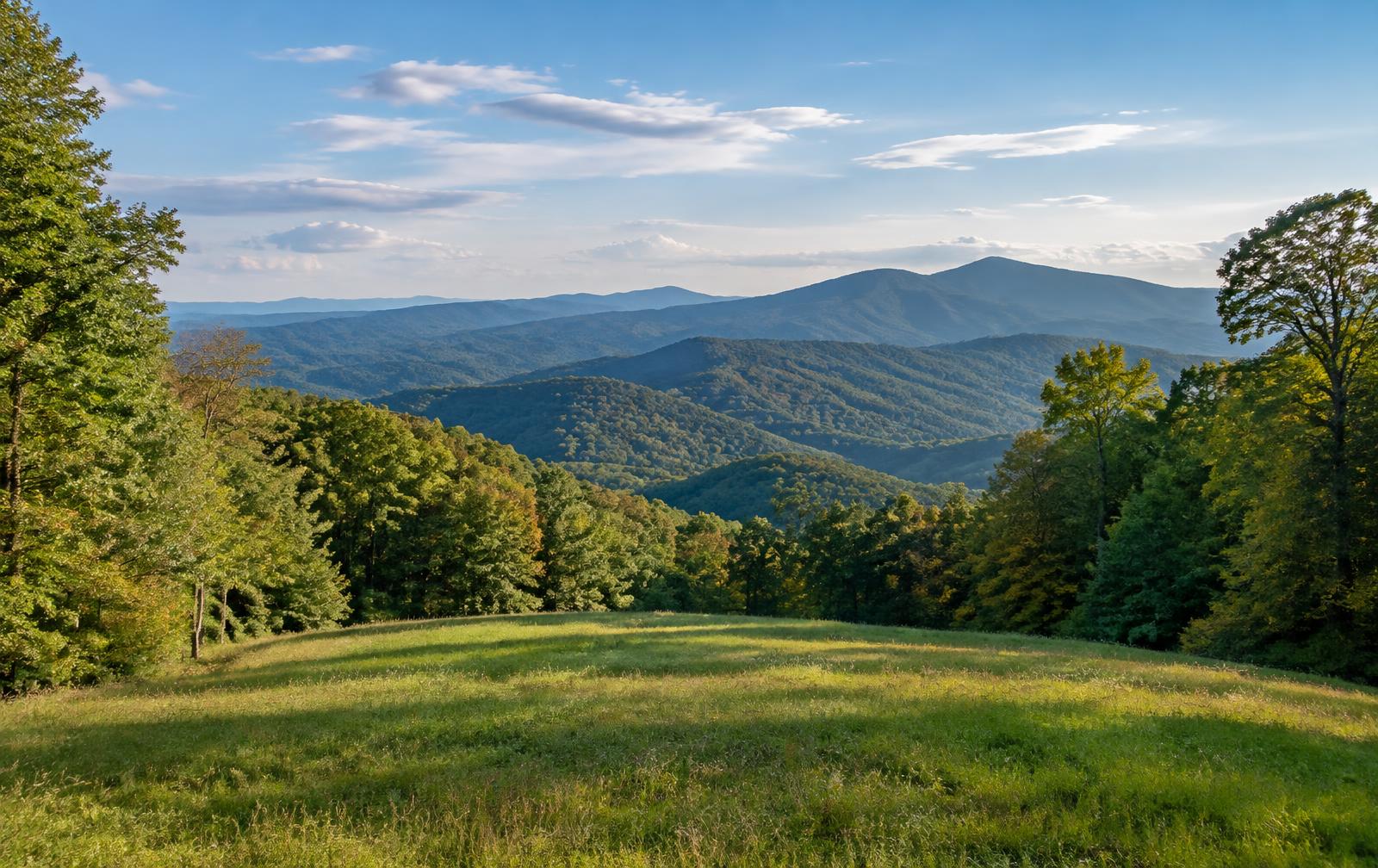
Hall County is at the foot of the north Georgia mountains, with Gainesville as the county seat. Lake Lanier shapes much of the county, and the land ranges from lakefront lots and subdivisions to poultry farms, pasture and wooded foothills.
Communities in the county include Flowery Branch, Oakwood, Lula, Clermont, Murrayville and Gillsville.
Land We Look At in Hall County
Lake Lanier area lots
Parcels near Lake Lanier depend on shoreline rules, slope and access, and the lake edge is managed by the Army Corps of Engineers.
Poultry and pasture land
Fields around Murrayville, Lula and Gillsville have long supported poultry houses, cattle and hay.
Wooded foothill acreage
Hardwood and pine tracts in the northern part of the county suit rural homesites and recreation buyers.
Local Notes
- Gainesville is the county seat, with Flowery Branch, Oakwood, Lula, Clermont and Murrayville nearby.
- Interstate 985, U.S. 129 and Georgia 365 are the main routes.
- Lake Lanier and the Chattahoochee River define the water, and Don Carter State Park sits on the lake.
- Land uses include lake lots, poultry farms, pasture and residential subdivisions.
Growth Areas
Interstate 985, U.S. 129 and Georgia 365 link Gainesville to Atlanta and the mountain counties. Flowery Branch and Oakwood have grown quickly along those corridors, and interest keeps moving north.
Terrain, Flood and Zoning Notes
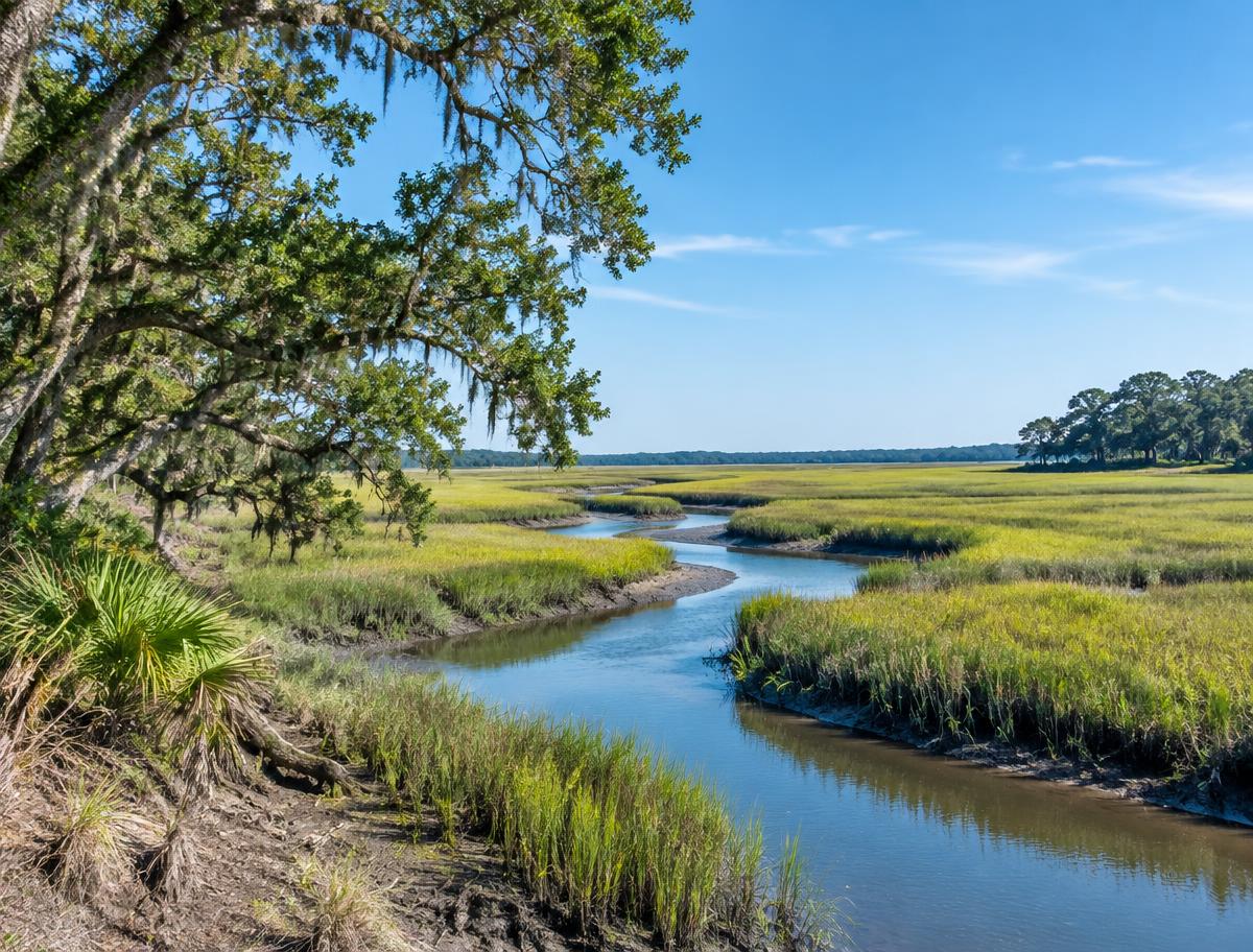
The terrain is Piedmont rising into foothills, with the Chattahoochee River feeding Lake Lanier and many creeks draining to it. Steep slopes, lake buffers and floodplain affect where building is practical. Gainesville and the other cities zone their own land, and county rules apply elsewhere.
General information only. Confirm zoning and flood status for a specific parcel with the county.
County Resources
Property records in Georgia come from two county offices: the county tax assessor, who handles assessments, and the Clerk of Superior Court, who records deeds. Both can be reached through the county offices in Gainesville. The Georgia Superior Court Clerks' Cooperative Authority (GSCCCA) keeps the statewide deed index. These official sources can also help with parcel research:
- Hall County government
- GSCCCA (statewide deed and real estate records index)
- Georgia Department of Revenue Local Government Services (property tax)
- USDA Web Soil Survey (soil maps for any parcel)
These are public government resources. We are not affiliated with them.
Selling Without a Listing
For lake-area parcels, mention shoreline ownership, dock permits and road access so we can review the property accurately.
There is no realtor and no commission, and you pick the closing date. Our guide to selling Georgia land without a realtor covers records, taxes and the attorney-supervised closing.
Request Your Cash Offer
A few property details help us put a considered offer together.