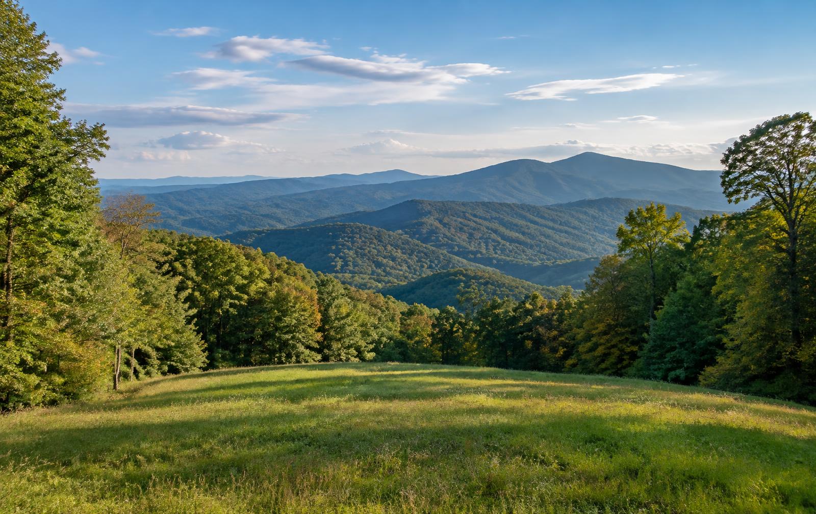
Lumpkin County is in the north Georgia mountains, with Dahlonega as the county seat. It is known for its gold rush history, vineyards and mountain scenery, and the land is largely wooded ridge, creek hollow and small hillside farm.
Communities in the county include Dahlonega and Auraria.
Land We Look At in Lumpkin County
Mountain acreage
Wooded tracts with elevation and views near Dahlonega depend on slope, road grade and water access.
Vineyard and small farm land
Hillside fields around Dahlonega support vineyards, orchards and small farms, part of the area's wine country identity.
Creek and national forest edge land
Tracts near the Chestatee River and the Chattahoochee National Forest suit buyers wanting fishing, hiking and privacy.
Local Notes
- Dahlonega is the county seat and home to the University of North Georgia.
- Georgia 400, U.S. 19 and Georgia 60 are the main routes.
- The Chestatee River drains the area, and the Chattahoochee National Forest lies to the north.
- Land uses include mountain homesites, vineyards, small farms and recreational tracts.
Growth Areas
Georgia 400 and U.S. 19 connect Dahlonega to Atlanta, and Georgia 60 and Georgia 9 serve the surrounding hills. The University of North Georgia and tourism keep the area active, and second-home interest reaches throughout the county.
Terrain, Flood and Zoning Notes
The terrain is steep Blue Ridge foothill land, with narrow valleys, rocky soils and many streams. Slope, erosion and stream buffers affect building, and some tracts have limited road access. Dahlonega zones its own land, and county rules apply elsewhere.
General information only. Confirm zoning and flood status for a specific parcel with the county.
County Resources
Property records in Georgia come from two county offices: the county tax assessor, who handles assessments, and the Clerk of Superior Court, who records deeds. Both can be reached through the county offices in Dahlonega. The Georgia Superior Court Clerks' Cooperative Authority (GSCCCA) keeps the statewide deed index. These official sources can also help with parcel research:
- Lumpkin County government
- GSCCCA (statewide deed and real estate records index)
- Georgia Department of Revenue Local Government Services (property tax)
- USDA Web Soil Survey (soil maps for any parcel)
These are public government resources. We are not affiliated with them.
Selling Without a Listing
For mountain parcels, a note about road type, spring or creek water and any recorded easements helps us review the property accurately.
There is no realtor and no commission, and you pick the closing date. Our guide to selling Georgia land without a realtor covers records, taxes and the attorney-supervised closing.
Request Your Cash Offer
A few property details help us put a considered offer together.